


GR34
WALKING PATHS
The Municipality of Clohars-Carnoët has included three walking paths in the Departmental Plan for Walking and Hiking Routes (PDIPR). These walking paths are fully equipped and marked.
With a distance of 7, 10 and 9 kilometers respectively, they are called ""Balade de Doëlan,"" Roche Percée loop"" and ""From chapels to mills."" »
They take rural paths and the coastline of the town which you can download here:
Map of the Roche Percé circuit
Map of the Chapels to Moulins circuit
Map of the Doëlan walking circuit
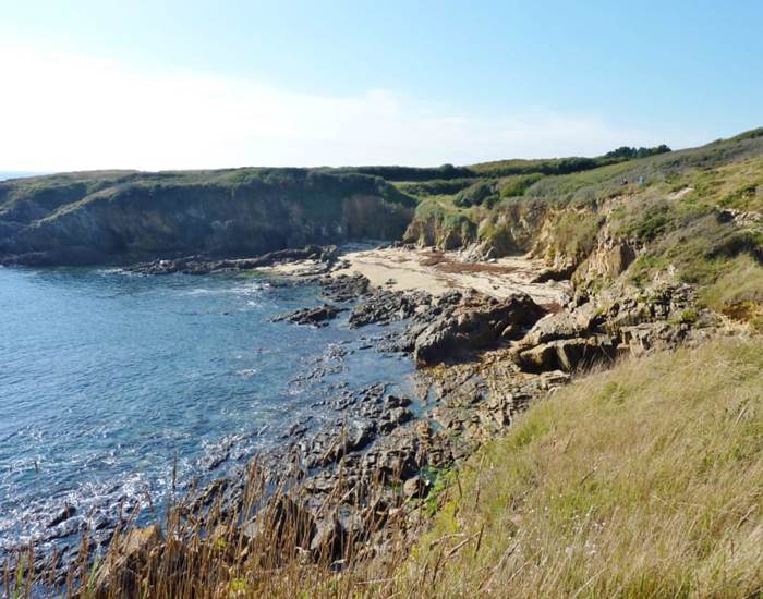
THE GR 34
Created in the 18th century to combat smuggling, the customs officers' trail, 2,000 km long, follows the Breton coast. This easily accessible route allows you to discover one of the facets of Breton identity. It gives you excellent memories and certainly the desire to come back.
For experienced hikers who would like to discover the GR while roaming, find our partner establishments, the Naeco hotels in Erdeven, Pouldu and Audierne.
These establishments located in the immediate vicinity of the GR34 give you the assurance of a night in suitable, low-cost accommodation (dormitories) or more Comfort (hotel room) with access to shared facilities (kitchen, storage for bicycles, room to dry your equipment).